This article was prepared by Ms. Rayana Sookdeo on behalf of the Institute of Marine Affairs. Sookdeo is a Geomatics Technician with the Institute’s Geomatics Unit.
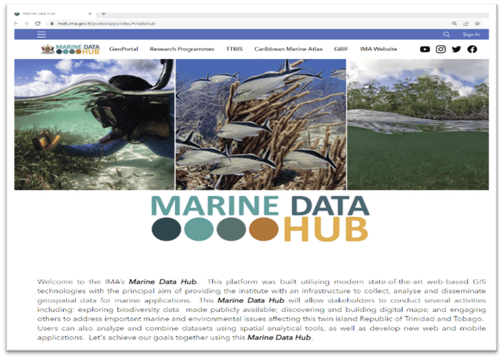
Did you know that the Institute of Marine Affairs (IMA) has its own data-sharing platform known as the Marine Data Hub?
Under Act No. 13 of 1990 of the Laws of Trinidad and Tobago, the IMA is mandated to promote, and enhance, an understanding of Trinidad and Tobago’s coastal and marine environments.
Additionally, the Institute is also responsible for facilitating the sharing of data among key stakeholders and providing advice to environmental stakeholders on matters related to these environments.
When placed in the context of its mandate, the Institute’s data-sharing platform is therefore vital to its functions and welcomed news to stakeholders who are interested in marine and environmental research.

Research and data collection at the IMA
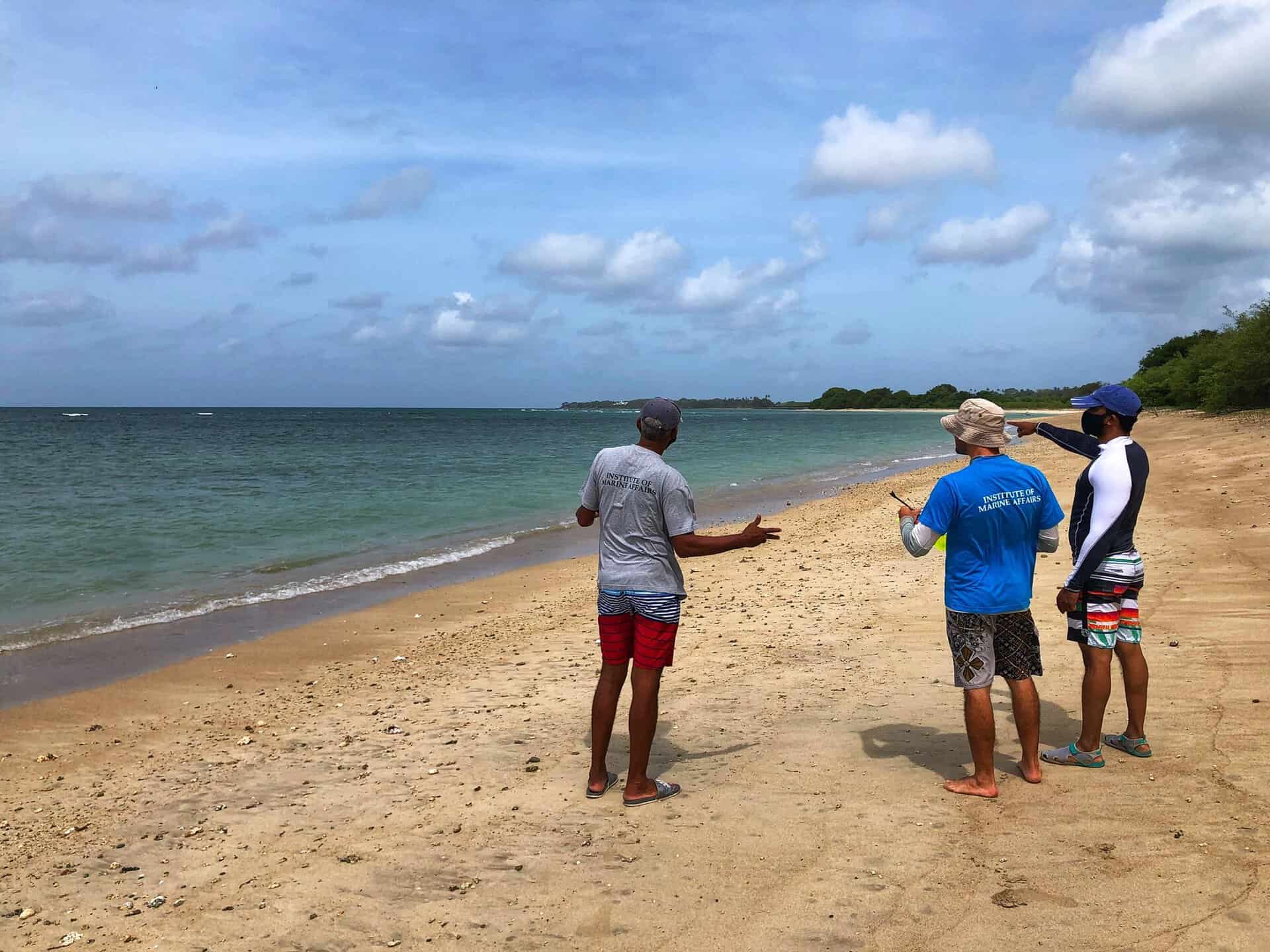
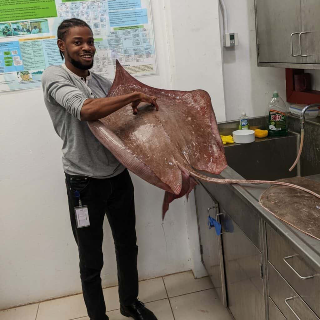
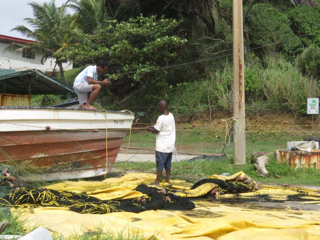
The various research programmes at the IMA are constantly acquiring and compiling data.
Examples of data collected by the IMA include (but not are limited to) the quality of water at Trinidad and Tobago’s beaches, the rates of beach erosion and/or accretion, and ecological data related to marine biodiversity.
The collected data then supports evidence-based decision making as it is converted into information to share with key stakeholders and members of society.
Currently, the IMA has Trinidad and Tobago’s largest repository of marine biodiversity data and recognises the value in sharing this data.
Given its large marine database, and its legal mandate, the Institute has taken the initiative to develop its Marine Data Hub.
Understanding the IMA’s Marine Data Hub
The IMA’s Marine Data Hub utilises modern web-based Geographic Information Systems (GIS) technologies with the principal aim of providing the Institute with an infrastructure to collect, analyse, and disseminate geospatial data (data including location/coordinates) for marine applications.
The platform then allows users to explore and visualise biodiversity data, to discover and build digital maps, and learn how to address important marine and environmental issues affecting Trinidad and Tobago.
To develop the hub, the IMA utilised funds it received from the Global Biodiversity Information Facility (GBIF) which is an international network and data infrastructure funded by global governments.
To expand its reach, all information from the data hub also directly links to Trinidad & Tobago’s Biodiversity Information System (TTBIS) which is a centralised data, and national archive, of all of the country’s biodiversity data.
Overall, the data hub is important because it:
- Facilities effective data sharing which allows for connection and collaboration among researchers.
- Supports activities which promote biodiversity planning and management, conservation, restoration and education.
- Allows researchers to build upon the work of others rather than repeat already existing research thereby avoiding duplication and data silos which helps with identifying data gaps.
- Enables researchers to perform meta-analyses (statistical process analysing and combining results from several similar studies) on any particular area of interest.
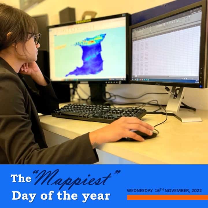
Relationship between the IMA’s Geomatics Unit and Marine Data Hub
The IMA’s Geomatics Unit specialises in generating, analysing and managing spatial data and information through Geographic Information Systems (GIS) and Remote Sensing (RS) technologies:
- GIS is a computer-based system that creates, manages, analyses, and displays spatial data. GIS incorporates two types of data: location data (where things are), and descriptive data (description of the locational data).
- Remote Sensing uses technology that captures the characteristics of the physical features of the Earth from a distance using satellites or aircrafts.
In collaboration with other research programmes at the IMA, the Geomatics Unit played an important role in developing the Marine Data Hub.
Activities carried out by the Geomatics Unit to support the development of the Marine Data Hub includes:
- Uploading IMA’s data to the platform
- Adding descriptive information about the data
- Designing web-based/digital maps
- Designing dashboards (more interactive than a web map, displaying detailed information from data)
- Engaging in the delivery of workshops to promote the Marine Data Hub to internal and external users.
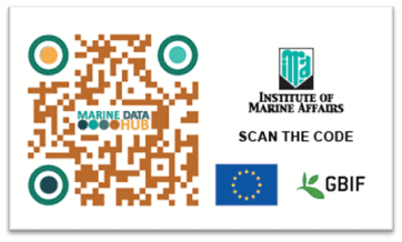
“Personally, I have had a lot of fun designing dashboards on the Marine Data Hub, and engaging in the internal and external workshops. I hope that now one can understand why I am excited to introduce members of the public to the Institute’s Marine Data Hub. We at the IMA invite you to visit the MDH homepage and engage with the platform through the QR code below. I hope you enjoy the experience!”
Rayna Sookdeo, Geomatics Technician at the Institute of Marine Affairs (Geomatics Unit)
ACCESS THE INSTITUTE OF MARINE AFFAIRS MARINE DATA HUB AT THE FOLLOWING LINK: https://mdh.ima.gov.tt/portal/apps/sites/#/datahub