
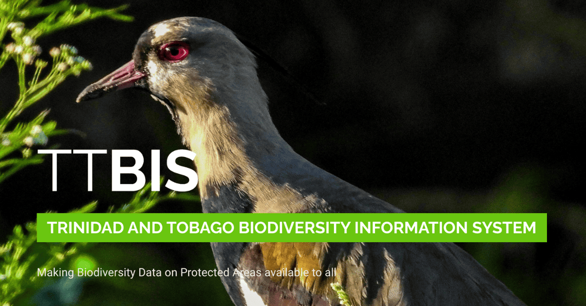
Scientists, environmentalists and nature enthusiasts alike can now access a comprehensive archive of biodiversity data for Trinidad and Tobago through an online portal called the ‘Trinidad and Tobago Biodiversity Information System (TTBIS)’.
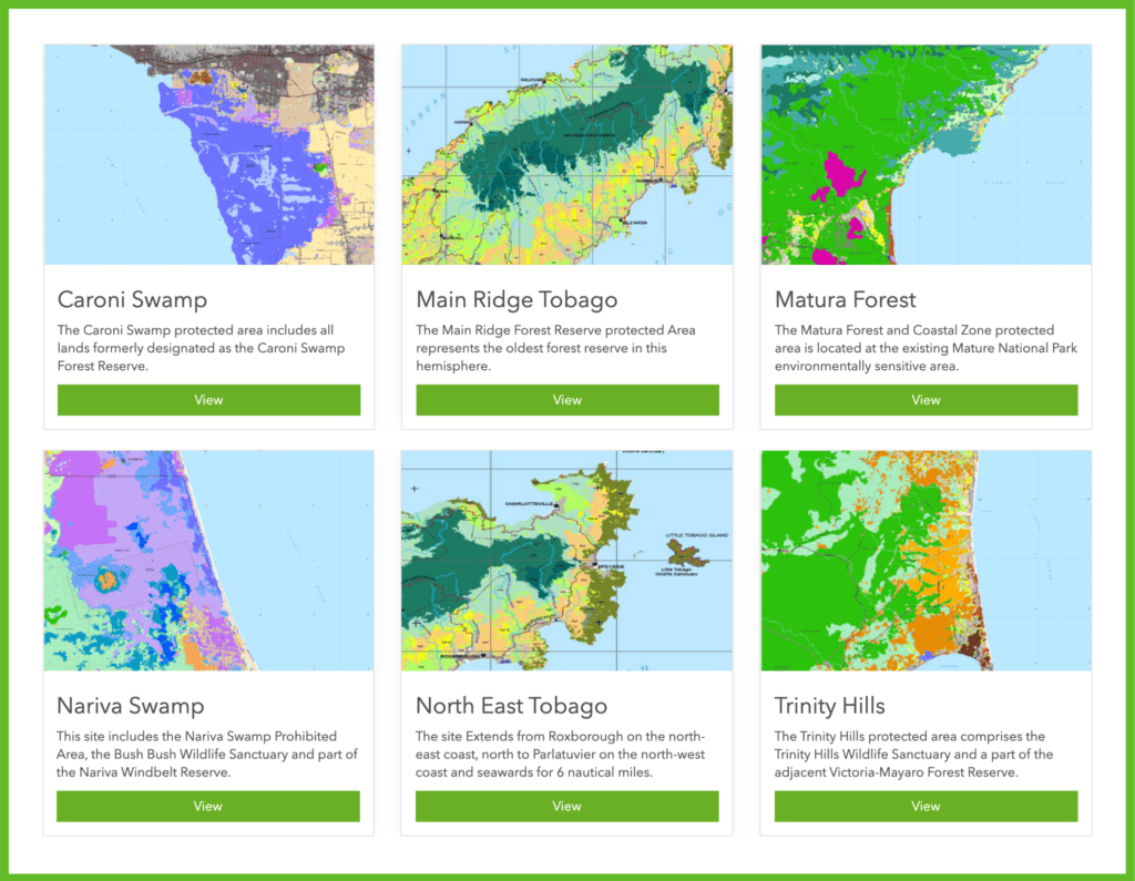
The interactive website offers users an in-depth look through mapping, imagery and information at biodiversity data in T&T with a specific focus on the composition and layout of six pilot protected areas.
The platform was introduced to the world Wednesday, August 5, via a virtual launch which was broadcast live to the Facebook page of its administrators at the Environmental Planning and Policy Division (EPPD) of the Ministry of Planning and Development.
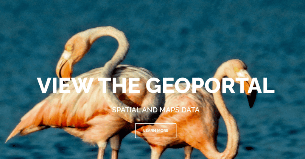
Viewers were given a first-hand demonstration of the capabilities of the website’s geospatial information portal which allows for the exploring and downloading of geographic information system (GIS) data useful for environmental protection and development planning.
Despite the advanced technical nature of the website, senior lecturer at the Department of Geometrics Engineering at The University of the West Indies (UWI) St Augustine, Dr Besham Ramlal, described the platform as “accessible to anyone with a web browser”, adding that contributions from citizen scientists would be welcome.
“You can use your mobile device, create a survey, go out and collect info, whether it is on a forest, whether it is on wildlife or anything else that you are interested in,” he said, adding the caveat that a QAQC (set of processes used to measure and assure the quality of a product) would be performed prior to publishing.
Most of the data featured on the website will come from 15 contributing organisations from across government, civil society and academia whose representatives would have received technical training in accessing the TTBIS back-end functions. The five government agencies involved in the initiative have been entrusted with the extra responsibility of uploading and updating GIS data.
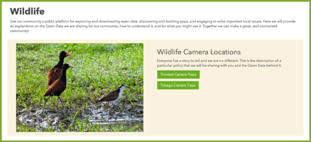
Dr Ramlal explained how the different organisations will have control regarding how much of their data can be accessed through the portal given the sensitive nature of some material. An example he cited was a user who would have to request permission through the website to view footage from wildlife camera traps so as to avoid exploitation by game hunters. He also explained that the platform could provide access to footage taken with drones and satellites which would help environmentalists monitor forest fires and encroachment into the pilot protected areas, among other things.
Permanent Secretary in the Ministry of Planning and Development, Joanne Deoraj, expressed the hope that this new “central repository” for gathering and managing biodiversity data across agencies would result in government institutions becoming less reliant on “consultants to extract data” for planning and decision-making purposes.
“There is a lengthy and costly process involved in trying to collect this data and it often requires new studies or field assessments to identify and fill gaps,” she said.
Deoraj also described the TTBIS as a “permanent electronic record” that could eliminate the loss of valuable records due to reliance on paper.
Exploring another benefit of the platform, Environmental manager, David Persaud said that most of the country’s biodiversity data is currently generated by institutions outside of the EPPD. He pointed out that two of the five government agencies responsible for uploading data to TTBIS, do not report to his department’s line ministry.
“If data resides somewhere in a shelf or a library,” he remarked, “we have a difficulty in making decisions in a timely and cost effective manner.”
| Agency | Line Ministry |
| Forestry Division | Ministry of Agriculture, Land and Fisheries |
| Environmental Management Division (EMA) | Ministry of Planning and Development |
| Institute of Marine Affairs (IMA) | Ministry of Planning and Development |
| Environmental Policy and Planning Division (EPPD) | Ministry of Planning and Development |
| Department of Natural Resources and Forestry | Tobago House of Assembly |
While the contributing government agencies may be disjointed in their line of reporting, Deoraj said their work remains interconnected since inter-agency linkages would help her team collect more relevant biodiversity information.
Dr Ramlal warned, however, that in order to see any benefit from TTBIS, stakeholders would have to commit to updating the information frequently because if they did not, “you may as well throw it in the Gulf of Paria.”
In describing his vision for the future, Dr Ramlal said that TTBIS is scalable and that there is no reason for it to be limited to only the six pilot protected areas moving forward.
The sentiment was echoed by Reuben Robertson, representative of the United Nations’ Food and Agriculture Organisation in Trinidad and Tobago in expressing the hope that T&T’s ability to accurately report biodiversity data would bolster the availability of evidence-based information for decision-making.
The TTBIS initiative is similar in nature to the UN Biodiversity Lab project, which The United Nations Development Programme (UNDP) describes as an interactive mapping platform designed to solve biodiversity conservation and development challenges. UNDP Administrator, Achim Steiner, stated: “By providing access to spatial data – including protected areas, endangered species, human impact on natural systems, watersheds for key cities, and more – the platform empowers policymakers with the necessary information to address pressing biodiversity conservation and development challenges.”
FAO provided funding for the development of TTBIS through IFPAM which had a total cost of US$30,510,074 attached to the creation of six outputs. Funding also came from the Government of the Republic of Trinidad and Tobago, the European Union (EU) and the Global Environment Facility (GEF).
The TTBIS portal can be accessed by visiting: https://ttbis.planning.gov.tt/portal/apps/sites/#/geoportal/pages/wildlife

